Wildfire and Earthquake Risk in the Portland Metro
People moving here ask me about the earthquake and about the fires, usually in that order and usually with numbers they picked up somewhere that turn out to be about a different part of the state. The honest answers are less alarming than the internet version and more specific.
This is not a post about whether to move to Oregon. It is about knowing which risks apply to the address you are actually considering.
The wildfire map was repealed, and most articles have not caught up
Start here, because it changes what you will find if you go looking.
Oregon spent several years building a statewide wildfire hazard map. It was published, withdrawn, revised, and fought over. Then in 2025 the legislature repealed it outright. Senate Bill 83 was signed on 24 July 2025 with an emergency clause, so it took effect the same day. It struck the statute behind the map and declared that any order assigning a property to a wildfire hazard zone is null and void.
Two things follow for you as a buyer. There is no operative state hazard-zone designation for any Oregon property today, so any article telling you to look up your parcel is describing something that no longer exists. And the seller disclosure question asking whether a property had been classified as wildland-urban interface was removed from the statutory form at the same time.
What survived is narrower than the map. The same bill directs the state to adopt the wildfire mitigation building standards from the residential code and to create a process for cities and counties to opt in. Those standards apply only to new construction, and the state cannot require a local government to adopt them. So it is a local option for new builds, not a statewide mandate and not retroactive.
Also worth knowing: a separate 2023 law bars insurers from using any state-published wildfire risk map to raise your premium or to cancel your policy. That protection has nothing to do with the repeal and still stands. What insurers actually use is their own proprietary wildfire modelling, which the repeal did not touch. If your quote comes back high for fire risk, the map was never the reason.
What wildfire risk in the metro actually looks like
Oregon has serious fire seasons. They are overwhelmingly concentrated east, central and south, in a very different landscape from the west side of the Cascades.
Within the Portland metro, meaningful wildfire exposure is narrow and specific. The wildland interface along Forest Park and the Tualatin Mountains carries real risk. So does the western and southern rural fringe where houses sit among trees at the edge of open country. The flat east side, the inner neighbourhoods, and the built-out suburban subdivisions in Woodburn, Gresham, Clackamas or Battle Ground do not carry that same exposure, and describing the metro as a high wildfire risk market overstates it considerably.
Smoke is the part that actually affects most metro households, and it is a genuine quality-of-life issue in late summer rather than a threat to the structure. Good filtration matters more here than defensible space does, unless you are buying on the edge.
If you are buying on the fringe
- Get an insurance quote before your inspection period ends, not after. Availability and price vary far more by carrier than people expect.
- Ask about the roof material, the vents, the decking and what is planted within thirty feet of the house.
- If carriers decline you, Oregon does have an insurer of last resort. The Oregon FAIR Plan Association has existed since 1971 and writes dwelling coverage up to a $600,000 limit. It is a backstop, not a bargain, but it means uninsurable is rarely the final answer.
Cascadia, with the numbers straight
This is where the misquoting is worst, so here are the figures and what each one actually describes.
For a full-margin rupture of the Cascadia Subduction Zone in the next fifty years, the USGS publishes roughly 10% under one model and 15% under another. That is not an uncertainty band. It is two methodologies for the same fault over the same window, one of which accounts for the time elapsed since the 1700 rupture.
The figure around thirty percent that circulates widely is a different thing: it describes a magnitude 8 or larger event in southern Cascadia, and it includes both full-margin and partial ruptures. It is not the number for the segment offshore of Portland, and it is not the magnitude 9 number. Conflating those two is the most common Cascadia mistake there is.
Oregon’s own geology agency publishes a set of probabilities in the same territory, running from roughly 7 to 12 percent for one rupture type up to the high thirties for another, with recurrence intervals of several hundred years. Different rupture scenarios, different numbers.
For local crustal faults specifically, the USGS puts the chance of a magnitude 6.5 event on a Portland-area fault at about 6% over fifty years. And the frequently quoted 85% figure for a damaging quake belongs to the Puget Sound region in Washington, not to Portland.
Fifty years is a long window and these are not small probabilities. They are also not the coin flip the headlines imply.
What that means for the house you buy
Building code is the variable you can actually act on.
A home built to current Oregon residential code is engineered for seismic loads in ways a 1950s or 1970s house simply is not. Foundation anchorage, shear walls, hold-downs and connection hardware are all specified now and were not then. That is not marketing, it is a straightforward difference in what the plans require.
Oregon’s seller disclosure form contains a seismic section with exactly two questions: was the house built before 1974, and if so, has it been bolted to its foundation. That survived the 2025 changes. Note what it is and is not. It is a disclosure obligation. No seismic retrofit is ever required in order to sell a home in Oregon. If you buy an older house and the answer to the second question is no, bolting it is on you, and it is one of the higher-value improvements available on an older home.
Portland’s mandatory retrofit program for unreinforced masonry buildings was repealed in 2020 and never applied to single-family homes anyway.
Flood, which is more likely to affect you than either
Statistically, a metro homeowner is far more likely to deal with water than with fire or a megaquake.
Federal flood insurance is now priced building by building rather than by map zone. Rating considers elevation, construction, distance to water and flood type. Most annual increases are capped at 18%, and the great majority of policyholders see changes of no more than about twenty dollars a month.
Here is the distinction that trips people up. Your flood zone still determines whether you are required to carry flood insurance with a federally backed mortgage. It no longer sets the price. Those are two separate systems now.
Locally, the areas to check are the Johnson Creek corridor through Lents and Powellhurst-Gilbert, the Willamette floodplain, and the Columbia Corridor behind the levee system. Johnson Creek is actively being remapped, with revised maps possible in 2026, and that will move some properties into the mapped floodplain and some out of it. If you are looking anywhere near it, check the current map by address rather than relying on what a listing says.
The Columbia Corridor deserves a specific note. Roughly 13,000 acres sit behind about 27 miles of levee with a dozen pump stations. When a levee system holds federal accreditation, the land behind it is not mapped as a special flood hazard area, which is why large parts of that corridor carry no mandatory insurance requirement. Accreditation is a status that can change. If you are buying there, verify the current mapping for that address rather than assuming.
Mount Hood, briefly
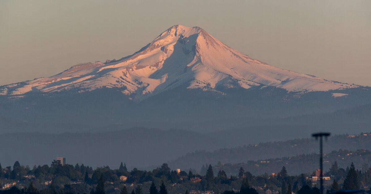
The mapped volcanic hazard corridor follows the Sandy and White River valleys, and the USGS puts the chance of eruption-generated debris flows affecting them at somewhere between one in fifteen and one in thirty over the next thirty years. The metro urban area is not in that corridor. Ash would be the metro-wide effect, and it is disruptive rather than dangerous.
What I would actually do
- Look up the address on the current FEMA map. Flood is the risk most likely to cost you money.
- Get an insurance quote during your inspection period, every time, on every house.
- On a home built before 1974, ask whether it has been bolted to its foundation, and price the retrofit if it has not.
- Ignore any article that tells you to check Oregon’s wildfire hazard map. It was repealed.
- Treat smoke season as a filtration question, which is a fair bit cheaper than most people assume.
None of this is a reason to buy somewhere else. Every region trades one set of risks for another, and I made the broader case in the Pacific Northwest quality of life post. It is a reason to check the specific address instead of the general reputation.
If you want help reading what applies to a particular property, ask me.
Have Questions?
I’m always happy to chat about real estate in Oregon. No pressure, no commitment.